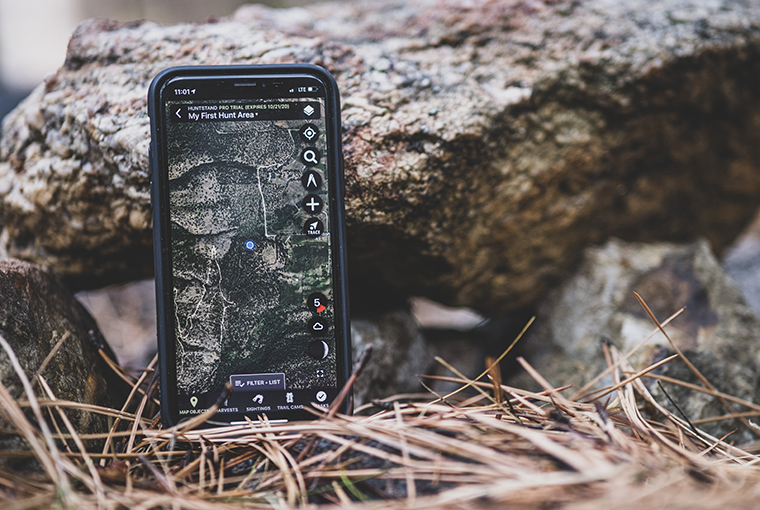
More hunters are using HuntStand for nationwide mapping access and powerful hunting tools. View property boundaries, Crown land maps, public hunting areas, and WMU info with HuntStand Pro.
Download HuntStand for province-wide property lines, offline maps, public hunting areas, 3D maps, and more. Map your Hunt Area and access powerful scent, weather, and navigation tools for free. HuntStand Pro now includes private property boundaries, Crown land maps, 3D mapping, and monthly satellite imagery for the entire province.
Hunt Areas are one of HuntStand’s key features. Create detailed vivid maps of the areas that you hunt and easily share them with friends or family. Maps are also stored in the cloud so everyone is always working off the latest version. Perfect for your hunting camp or Crown land parcel.
With more than six million downloads, HuntStand is the most widely used hunting app in the United States and Canada. Find out why millions of hunters use HuntStand to plan and execute safe, successful hunts.
HuntStand Pro for clubs, stands, and 3D mapping
“Hunting with family and friends is one of the greatest opportunities available to outdoorsmen and women. Having that time together is an excellent way to enjoy nature, build relationships, and more. It’s part of hunting’s storied tradition, and rich heritage. Rest assured, we’ll be leaning heavily on HuntStand Pro this fall to help run things smoothly at mine,” Josh Honeycutt writes.
Built by hunters for hunters
Getting started with HuntStand is easy
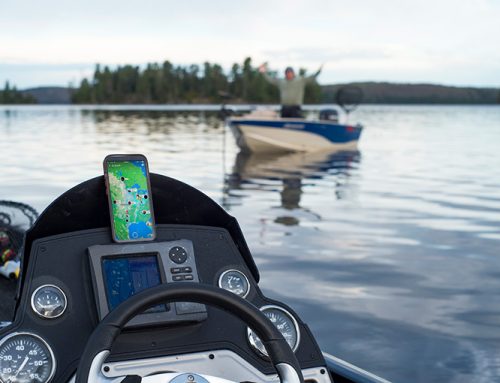
HuntStand is a hunting, weather, and navigation app that will make your hunting experiences both more enjoyable and successful. HuntStand combines advanced mapping tools with powerful map layers. Navigate while mapping your favourite hunting areas on both public and private lands. Measure distance and area; add map markers for everything from stands, camera sites, and food sources to roads, parking areas, and structures. HuntStand also includes advanced weather and solunar features to help you select the best times and places to hunt.
Gallery
Posted as a paid partnership between Ontario OUT of DOORS and HuntStand.






I’ve purchased the huntstand pro and it doesn’t seem to have the crown land layer….. Saw the app advertised in the hunting regulations and was disappointed when I bought the one year subscription only to find out the information is scarce for Ontario.
Justin,
There have recently been some Ontario-specific upgrades to HuntStand Pro. A rep mentioned, from our query:
“Crown Land and all of our various land layers are currently grouped under ‘Hunting land’. There’s also WMUs, municipal boundaries, parks, conservation areas, etc.
It’s not a specific ‘Crown land’ layer, but Crown land boundaries are one feature within the Hunting lands layer.”
They may also refer to Crown land as Public land within the app.
Here’s a link for you, with more information: smart.link/raah1t57qknhh
Please let us know if you have further HuntStand Pro queries.
Brown land can be seen as as public in Ontario White the hunting Lang layer