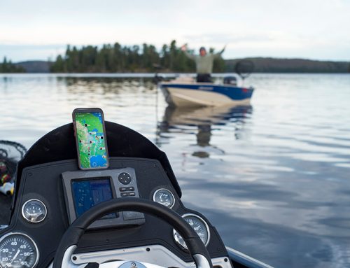
The Ministry of Natural Resources and Forestry’s Fish ON-Line resource is giving anglers an edge when it comes to recreational fishing.
Fish ON-Line is a tool that helps anglers better plan their fishing trips, check fishing regulations and learn more about Ontario sport fish.
Users can search for fishing regulations, gps coordinates and fishing access points among other things.
A feature added in December 2014 gives users the ability to create a customized list of desirable fishing locations based on information from 14,000 lakes in the province.
The user can specify an area on a map and learn which species of fish are located or stocked in a particular lake. The list can then be narrowed down by distance, Fisheries Management Zone or MNRF district.
MNRF Fisheries Program Biologist Matthew Garvin says the printable lists are a welcome change to the previous way of accessing this kind of information.
“In the past, folks had to hope their list was updated and check in at a district office to see if it was available.”
Garvin encourages people to check back regularly as the maps are constantly updated with new information.
The MNRF is also seeking input from users by providing an online survey within the website that asks what other resources anglers would like to see added to the Fish ON-Line site.
According to Garvin, the top requests include information about what other people are catching, more information on rivers and streams, and lake-by-lake regulations.
Current features include:
– Waterbody information (MNRF District, two dimensional lake depth contours, FMZ zone, weather forecasts)
– Zone regulations
– Fish species
– Fishing access points and boat ramps
– GPS coordinates


I personally love the idea of this map application. However i must say that NO ONE should use it as a stand-alone tool for any fishing outing. Having worked for hatcheries, guided, and ran an hunting and fishing outpost over the last ten years, i can state with certainty that ALL of the 10 or so lakes that i regularly fish year around are inaccurately described by this app. Whether it be that they lack stocking information (some of these lakes i have personally stocked with our local hatchery association, are listed as “not-stocked”) and some either list species that are most certainly not present, or fail to list species that ARE present. As an example, Percy Lake in the township of Harburn, it is stocked with silver trout (a variant of lake trout, also known as kingscote trout) i know this because i have stocked them, and there’s even signage at the boat launch explanation the stocking and why it was done. There is plenty else that needs ironing out here that i could’ve have described as well. but just wanted to show an example or two.
This is a great idea, but it is years from usefulness.